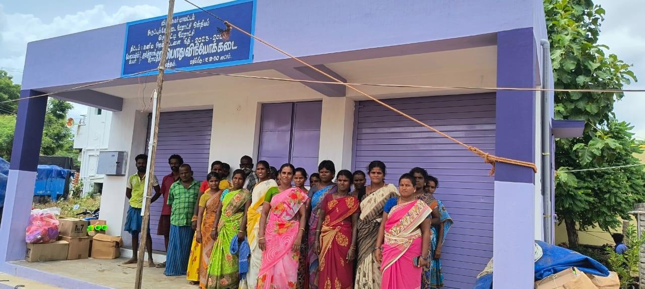

About District
From the 19th century AD, District Collectors and Judges appointed by the British controlled this area. In 1910, the District of Ramanathapuram was created for administrative convenience, by carving-out territories from Madurai and Tirunelveli districts. After India attained independence, in 1948, the zamins were abolished. In 1985, the Ramanathapuram district was trifurcated vide State Government Notification, G.O. Ms. 347 dated 08.03.1985 to create the districts of Ramanathapuram , Sivaganga and Virudhunagar district. This district is divided into 3 Revenue Divisions namely Aruppukottai, Sivakasi and Sattur and 10 taluks, namely Aruppukottai, Kariyapatti, Rajapalayam, Sattur, Sivakasi, Srivilliputtur, Tiruchuli, Virudhunagar, Vembakottai and Wathirairuppu
Company Statistics Analysis
Great Achievement For Insurance
8563 +
Saticfied Custimer
2630 +
Experience Members
100 %
Satisfaction Rate
25 +
Years Experience
963 +
Awards Winning
Popular Clients
We’ve 1520+ Global Premium Clients


Location
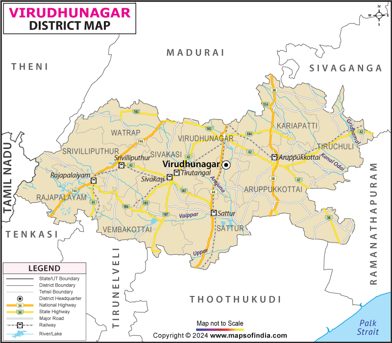
The Virudhunagar District is located between 11°00’ and 12°00’ north latitudes and 77°28’ and 78°50’ east longitudes. It has an area of about 4243 square kilometers. It is bound on the East by the Western Ghats, on the North by Madurai district, on the North–East by Sivagangai district, on the East and the South-East by Ramanathapuram district and on the South by Thoothukkudi District. The location map of the Virudhunagar district is shown in Plate No 1.
Area and Population
According to the Director of Statistics, Chennai, the district covers an area of 4243 square kilometers or 1638 square miles. Virudhunagar district occupies the fifteenth rank among the districts of the State of Tamil Nadu with regard to its size. The population of the district is 15, 4 65,037. Of this total population, 7, 84,912 (50.15 per cent) are males and the remaining 7, 80,125 (49.85 per cent) are females.